Yesterday your correspondent took a break from the inner city and headed by rail to the North Somerset Coast at Weston-super-Mare.
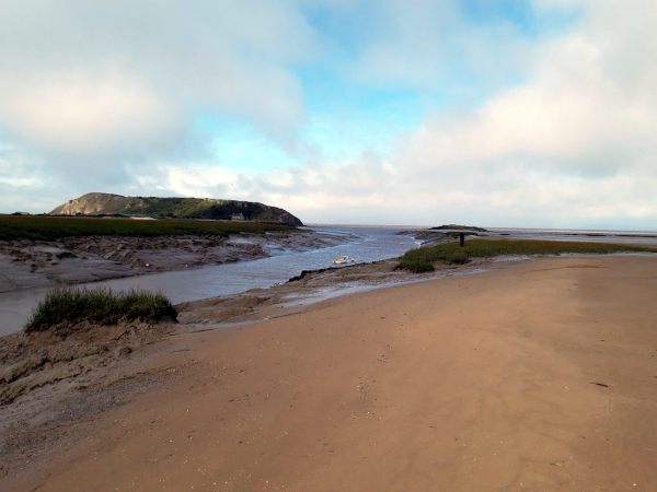
Plenty of good, fresh air and healthy exercise was had, with my walking from the railway station to the far end of Weston bay at Uphill where the River Axe empties into the Bristol Channel between Brean Down and the semi-tidal Black Rock, as shown below.
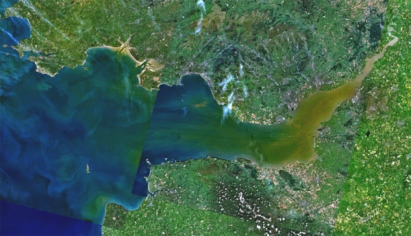
The eastern limit of the Bristol Channel is defined by the International Hydrographic Organization as that area between two lines between Sand Point in Somerset and Lavernock Point and the western limit a line between Hartland Point in Devon and St. Govan’s Head. Upstream of the eastern limits, the body water is the Severn Estuary, whilst westwards of the western limit is defined as the Celtic Sea.
However, the phrase Bristol Channel has not always been used to characterise this area of water.
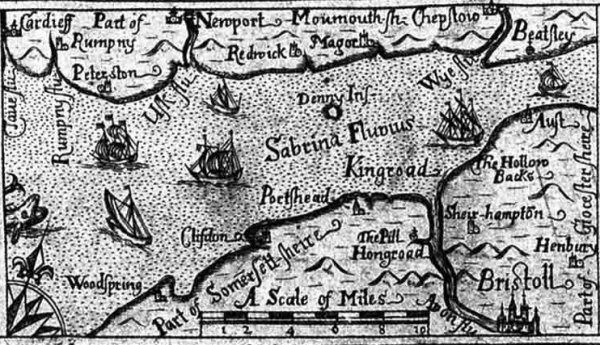
Until Tudor times the Bristol Channel was commonly known as the Severn Sea. Indeed, it is still known as this in both Welsh: Môr Hafren and Cornish: Mor Havren, whilst on Jacob Millerd’s 1673 map of Bristol shows the Severn Estuary in the Latin, Sabrina Fluvius, as depicted below.