 There’s a Roman road that runs across Durdham Down in the Clifton area of Bristol.
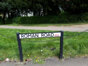
However, it’s not the one near the top of Blackboy Hill with the modern name plate and the posh BS9 postcode. That ‘Roman’ road is an imposter, albeit a short but straight one.
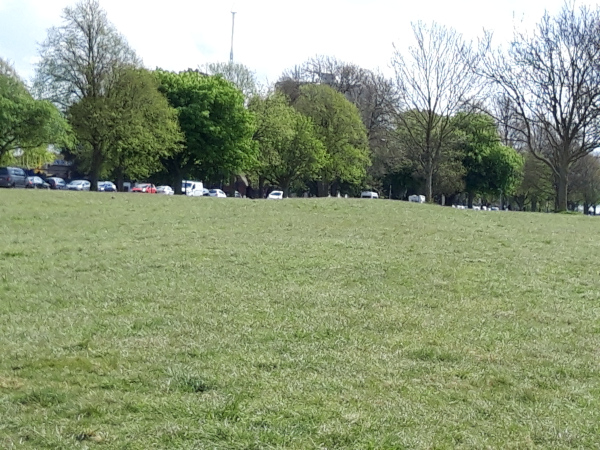
There is a real Roman road that crosses Durdham Down, but it’s much harder to spot on the ground since it consists of just the agger, the raised bank upon which the road was laid and its two accompanying side ditches. Your ‘umble scribe actually had to lie on the ground to spot it, as the lumps and bumps on the ground can be measured in mere centimetres. The sharp-eyed may be able to discern the differences between the agger and side ditches in the photograph below.
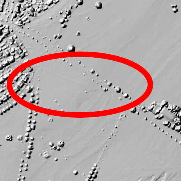
It’s somewhat easier to spot on a Lidar scan of the area. It can be seen in the 2 faint parallel lines depicting the ditches on either side of the agger, which are enclosed by the red ellipse in the photo below.
This section of Roman highway is a scheduled monument. Its official listing reads as follows.
The monument includes part of the Roman road which originally ran from Bath to Sea Mills, situated on a wide plateau known as Durdham Down. The road survives as a length of flat-topped bank measuring approximately 100m long, 10m wide and 0.6m high with a visible although largely buried ditch on the south side.
The Sea Mills mentioned above is a modern-ish suburb of Bristol. It was, however, also home to the Romans who established a settlement called Portus Abonae there. From Portus Abonae, travellers on the road would have had to take to water to continue their onward
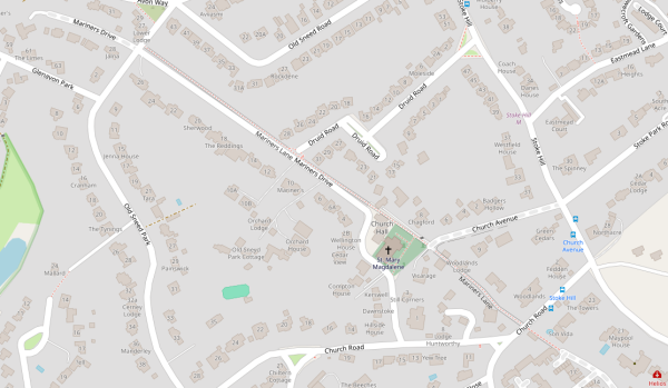
In between the surviving section on the Downs and Portus Abonae, part of the original Roman road’s alignment is still in use today, its course being followed by the current Mariner’s Drive/Mariner’s Lane.
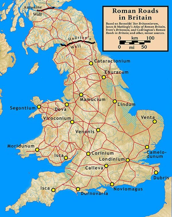
The map below shows how this Roman Road, known as the Via Julia, fitted into the general system of roads in Rome’s province of Britannia.